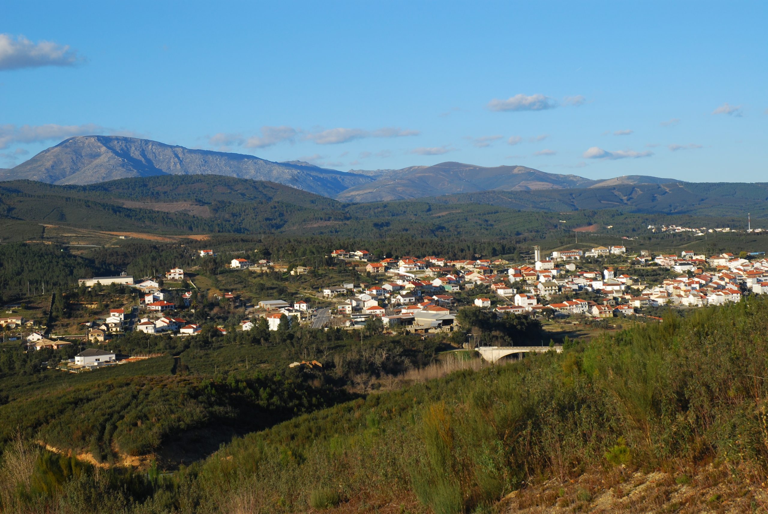
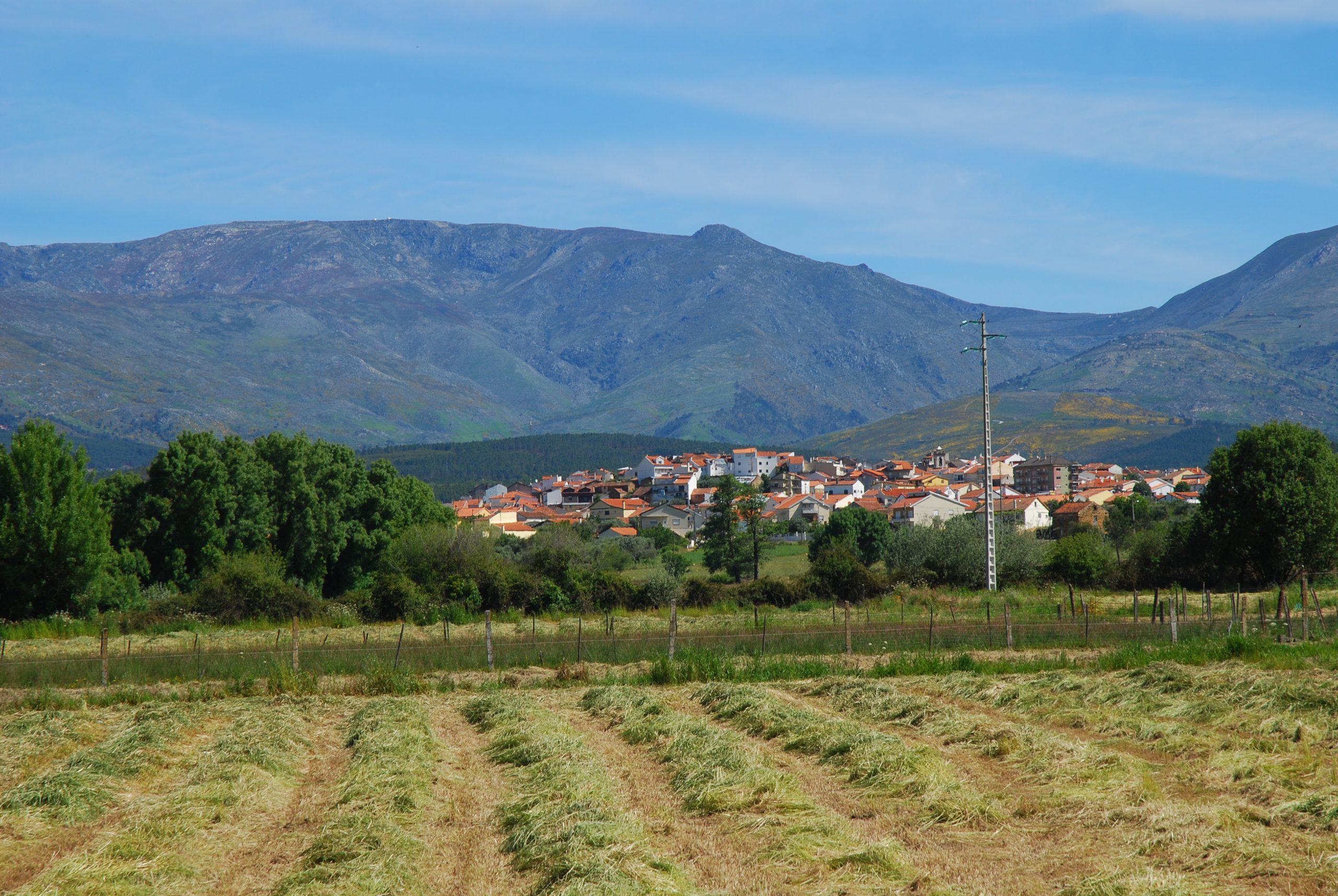
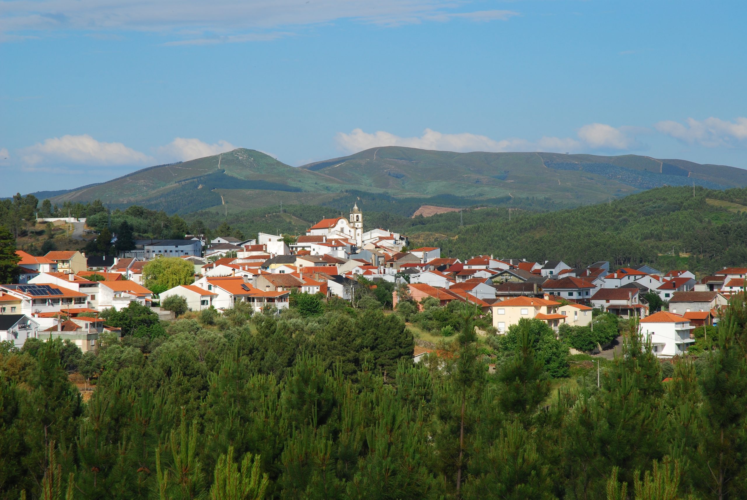
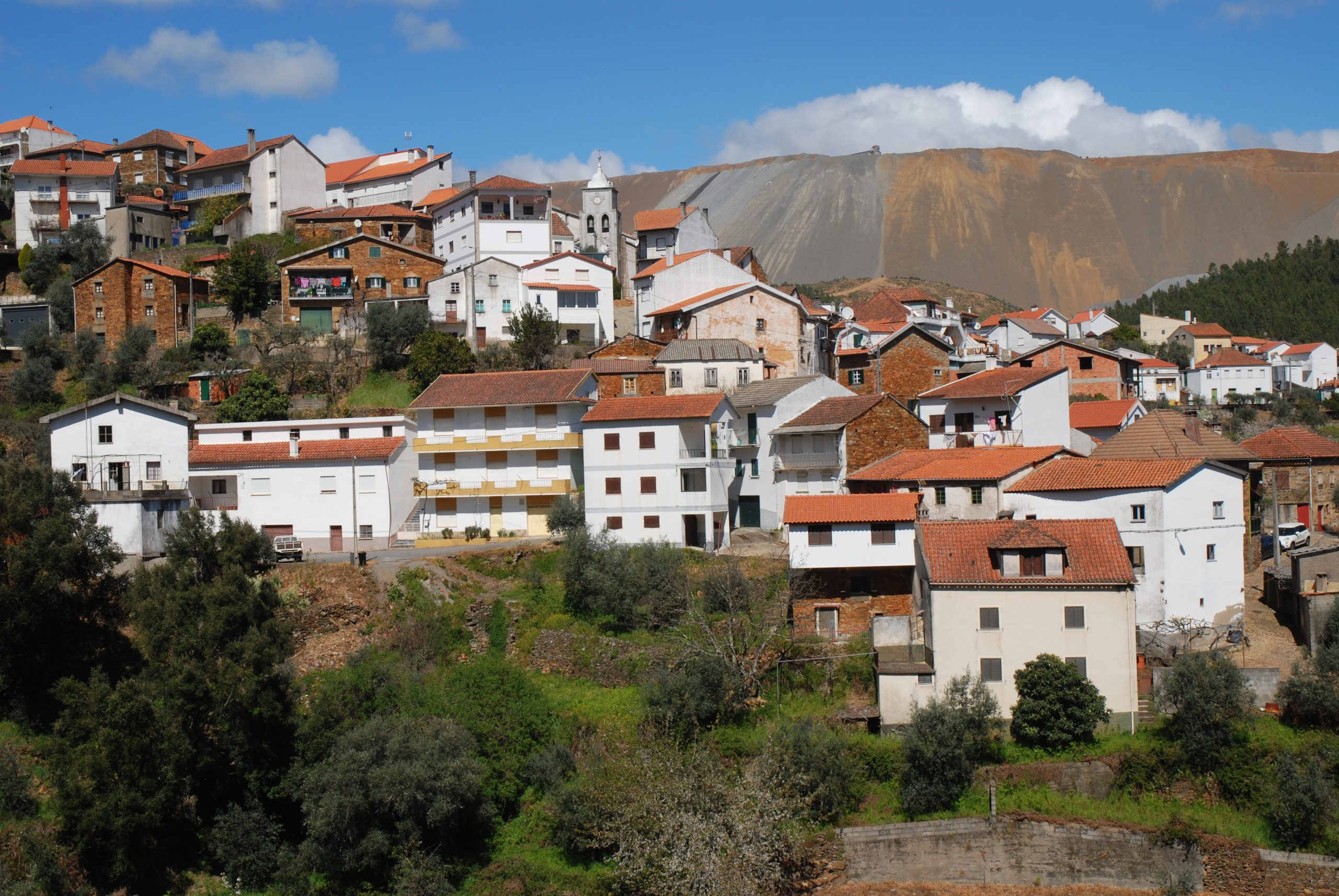
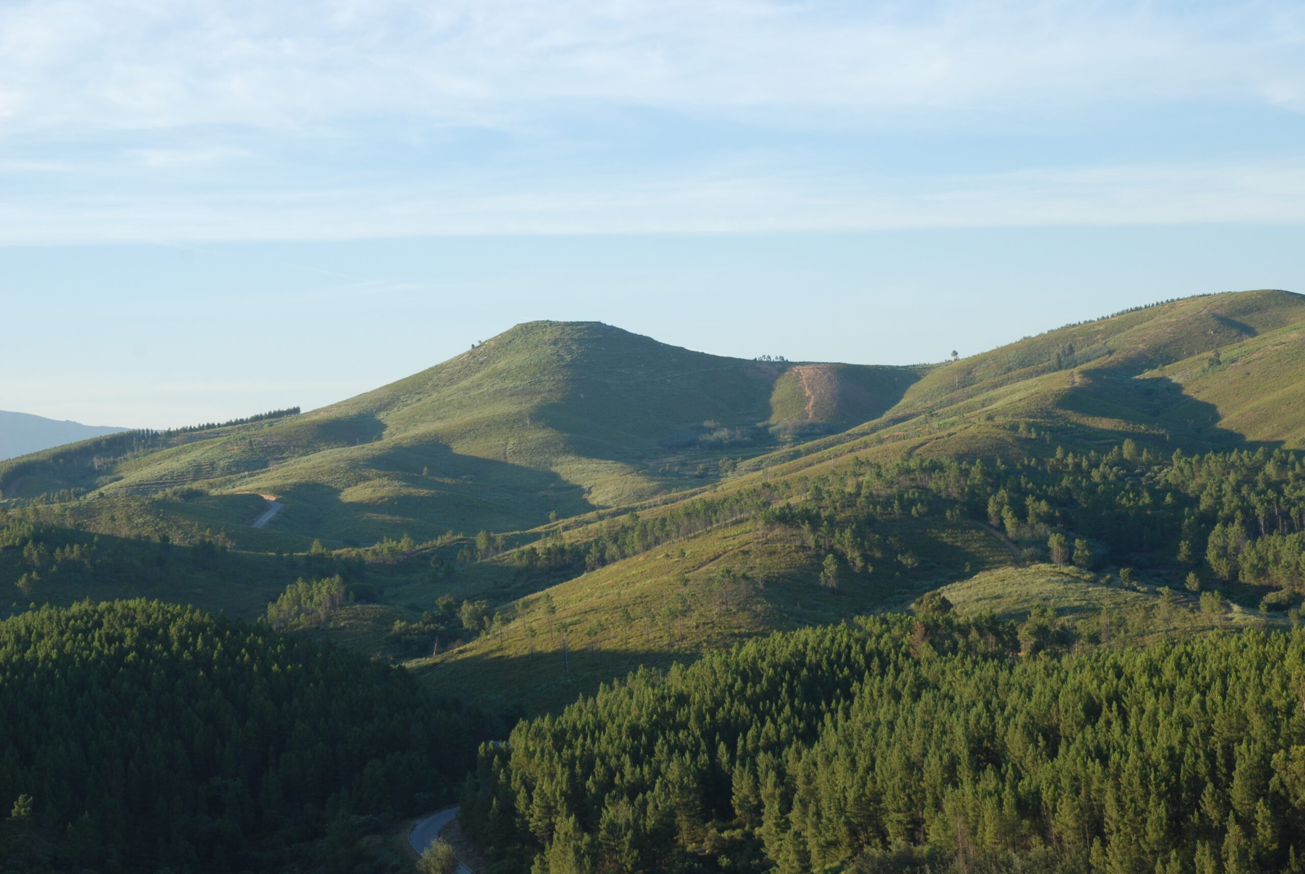
Lavacolhos

Lavacolhos

In the shadow of Gardunha looking at Estrela, Lavacolhos is a very particular parish, interwinding and coexisting many elements and influences, side by side, chestnut trees, cork oaks, black oaks and pine trees, in the river ash and alder trees; here and there cherry trees… and ofcourse, olive trees, often in their own backyards.

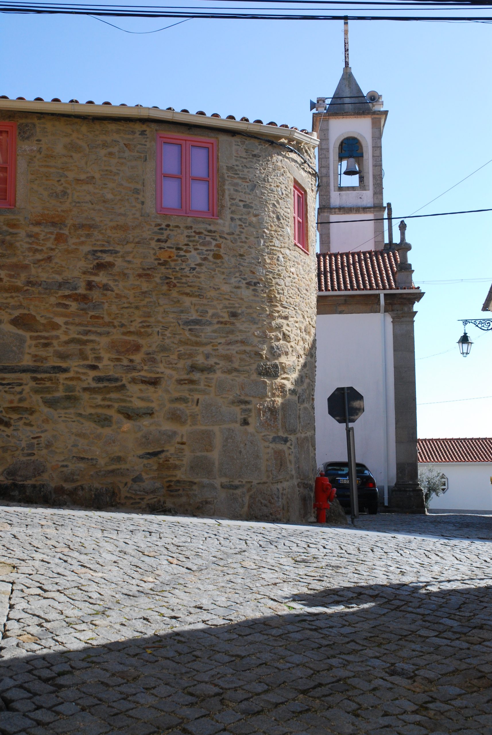
More than the landscape or the land use, the true trademark of Lavacolhos are the “bombos” (drums) and their exciting and ancestral tune that seems to come from the end of time. This tradition is still very much alive, through an association of drummers and a museum – Casa do Bombo; both institutions have managed to have the know-how concerning the construction of bombos recognised as Intangible Heritage.

Schist
Schist

Bogas de Cima

Bogas de Cima

The parish settlement is divided into a series of small villages, scattered between pine forests, where forest exploitation is one of the main activities of the parish. However, the land and relief are particularly favourable for the olive tree cultivation which, fortunately can still be seen.

The importance of the olive groves is also witnessed by the existence of several old mills that used to make use of the driving force of the water of several streams, and especially the Bogas stream, which the culture of linen which was also very expressive.

In the urban centre of the parish there are still some examples of traditional schist houses, of which the emblematic Casa Redonda stands out.

Schist
Schist

Janeiro de Cima e Bogas de Baixo

Janeiro de Cima e Bogas de Baixo

Janeiro is the land of boatmen, boat builders and fishermen that simultaneously carved the stone, cultivated the meadows and looked after the pine forests. Hard-working men that developed all these skills due to extreme isolation that they lived in, at the bottom of the valley, between ravines and cliffs. Self-sufficiency, courage and community cooperation were key to its survival – in literal terms, since during the French Invasions their people repelled a column of troops with a few hundred soldiers.

The traditional construction uses a schist base associated with rolled pebbles, giving it a particular look, without having the same characteristics that can be found in Paúl. The existence of a significant set of houses with these characteristics, motivated Janeiro de Cima to be included in the network of Schist Villages.

River
River
Schist
Schist

Barroca

Barroca

At Barroca, the history of Schist has been written for millennia, its remote ancestors engraved magical geometric figures and animals on rocks on the shores of the Zêzere. Walls, terraces, mills, olive presses and houses, from the most modest to the most elegant, were built in schist. Fortunately, many of them have kept their features and characteristics, and Barroca is therefore included in the network of Schist Villages.

A wide river front and a pedestrian passage over the river, invites you to walk along the river. If you go upstream, after a wide bend, where the Zêzere flows rapidly, you will find another reality: the monumental heaps of Cabeça do Pião (Silvares). From a natural landscape we go into an industrial landscape.

River
River
Schist
Schist

Silvares

Silvares

The town is a very old settlement with historic references that date back to the Medieval Ages. The river, and several waterways that flow into it, creating alluvial deposits that enable the growth of vegetables, corn, potatoes and olive tees, often using terraces. The settlement took place along a ridge overlooking the river. Here, as in other riverside locations, the Zêzere was the natural outlet for pinewood, a species which has long been dominant in the forest cover of the region and one of its main resources.

However, the main lever for the development of Silvares in the 20th century was the mining in Couto Mineiro da Panasqueira, being a few kilometres away from the village, in Cabeça do Pião, the washing complex was installed which, through a cable car, ensured the treatment of the ore coming from Barroca Grande. Associated to this structure, to its labour and maintenance needs, a workers’ quarter and various warehouses were built.

River
River
Wolfram
Wolfram

Barco e Coutada

Barco e Coutada

Barco gets its name from a very old royal privilege that made the riverside villages of the Zêzere the right to have, and explore, the river crossing by ferryboat. Upstream, Coutada is a very close settlement where there is a continuity of settlement between both urban nuclei.

It is near Coutada that the Zêzere changes its character; its course which is more or less straight from Belmonte and crosses Cova da Beira, becomes somewhat tortuous with bends and meanders, passing by abrupt slopes on the opposite margin, sometimes spreading out into sand and gravel on the opposite margin. It is also here that wedges, and stone structures, perpendicular to the river, emerge with more frequency and monumentally.

To the south, within sight and dominating the entire valley, stands the Cabeço da Argemela, a mountain range of legends, with traces of mining and metallurgical exploration that date back to prehistoric times, and reached its peak during WWII, with hundreds of people scouring its slopes in search of black gold. After this period of exploitation of wolfram which was extended through the concession of the Recheira mines, known as Companhia Inglesa (English Company).

River
River
Wolfram
Wolfram

Peso e Vales do Rio

Peso e Vales do Rio

Peso and Vales do Rio are unequivocally connected to the Zêzere, where it still has the characteristics of its Cova da Beira course, of slow flow with wide alluvium on both banks, leafy riparian galleries of ash-trees, willows, alders and poplars (unfortunately invaded by acacias in some places). The fertility of the land bordering the river allows for multiple crops, irrigated by lifting water directly from the river bed, currently by motor pumps, in the past by hydraulic wheels.

Possibly due to the proximity to Covilhã, the wool industry still has some representation and presence in the local economy. Mining is now an almost erased memory but, there is still a physical testimony of a forgotten mine between pine forests, in a remote place where wolfram was extracted.

River
River
Wolfram
Wolfram

Paúl

Paúl

The town of Paúl has a strong identity that comes from the traditional constructions, using pebbles connected by red clay which, even though they aren’t exclusive of this parish, there is in abundance.

The Paúl or Caia stream is fed by a complex of waterways coming mainly from the Estrela Mountain, ensuring an abundant flow and excellent quality. The stream is the first structural element of the town and the use of land from the parish, has wide alluvial beds with marshes, where different irrigated crops are grown, through levadas which, from weirs and dams, channel the water to the fields. In the past this resource was also largely used as a driving force for dozens of mills, namely mills and olive presses, some of which are still visible, others like a stump are just a toponym memory.

The good quality of water to the numerous weirs, wells, waterfalls and riverside woods, make the stream a fancied place for bathing, walks and for trout fishing, which is one of Paúl’s ex libris.

Schist
Schist
Paul

Casegas e Ourondo

Casegas e Ourondo

Casegas is one of the oldest villages of the ADERES parishes, with historical references that go back to the XII century. It belonged to the Order of the Templars, later the Order of Christ, looking after a vast territory, including areas that currently belong to the parishes of Erada, Sobral de S. Miguel (former Sobral of Casegas!) and S. Jorge da Beira. Along its drainage basin there are fertile alluvium deposits that allow a wide variety of crops, there are records of the existence of 20 mills and 5 wine presses, testimonies of some opulence that are still visible in the parish seat, in residencies with manorial characteristics, from schist and granite and examples of religious architecture, including the main church and the emblematic Chapel of Souls.

The toponym Ourondo probably derives from gold, certainly there, like in other riverside villages of the region, exploited by mining the sand of the Zêzere. Hence, currently the great richness of Ourondo is its biodiversity and landscape. The Zêzere meanders and twists tortuously and, perpendicularly to its bed, stone walls have been erected to protect mud flows from floods and erosion, the so-called terraces, forming a compartmentalised landscape of real mosaic riverside habitats (meadows, riparian galleries, gravel banks and sandbanks), with agricultural areas, and olive groves and pine forests at slightly higher levels.

River
River
Schist
Schist

Aldeia de S. Francisco

Aldeia de S. Francisco

Today the parish of S. Francisco village is truly the centre of the extractive activity of the Panasqueira mines; a few hundred metres from the parish seat, Barroca Grande is the main entrance to the heart of the mine, where in 3 daily shifts, some dozens of men extract tons of rock from the bowels of the earth, which rise and circulate on the surface, subjected to different treatments until obtaining wolfram, copper and tin.

The mine is a complex organism, in constant change and movement, on the conveyor belts, in the sounds of the machines, from the permanent dripping of water, in the commuting of the workers at the surface…. Above the mine and the landscape stands a monumental heap of waste materials, which frames the very seat of the parish and, like a mountain, it is visible for many kilometres away.
The Zêzere limits the entire southern area of the parish, and if at certain points it borders industrial landscapes, on others it runs in rapids, due to its passage through narrow valleys, with slopes covered with Mediterranean scrubland.

River
River
Wolfram
Wolfram